Pipeline security drone system
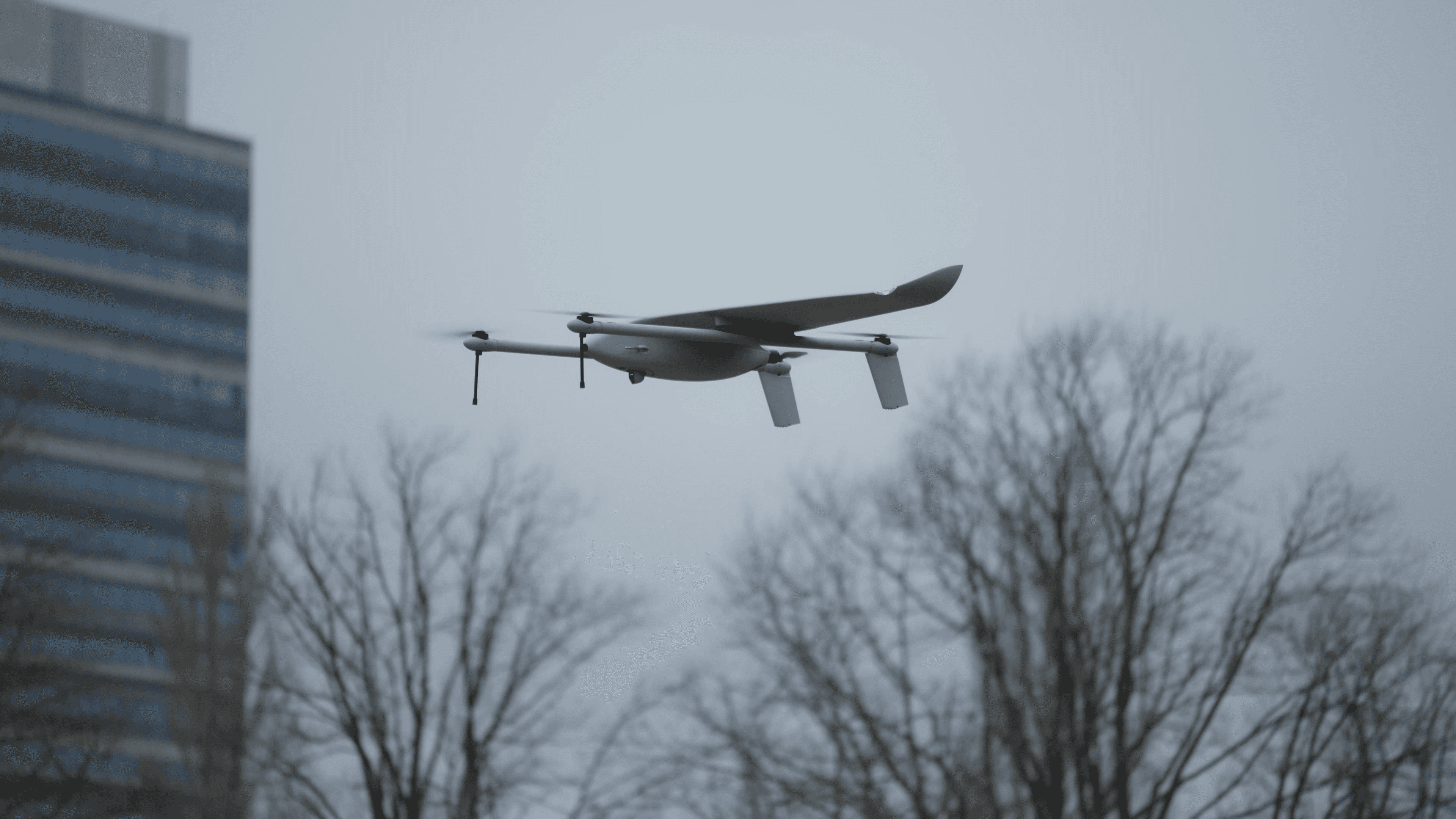
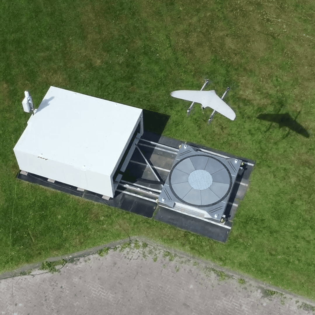
Aera and the Avy dock patrol pipeline corridors autonomously, flying long linear routes beyond visual line of sight without a crew on site. Operators get repeatable right of way patrols and a live view of any alarm within minutes.
Flying with Avy


130 km
Range with our security sensor configuration
30 knots
Wind limit, including gusts, 95% weather operability
0
Crew on site, dock and drone are remotely operated
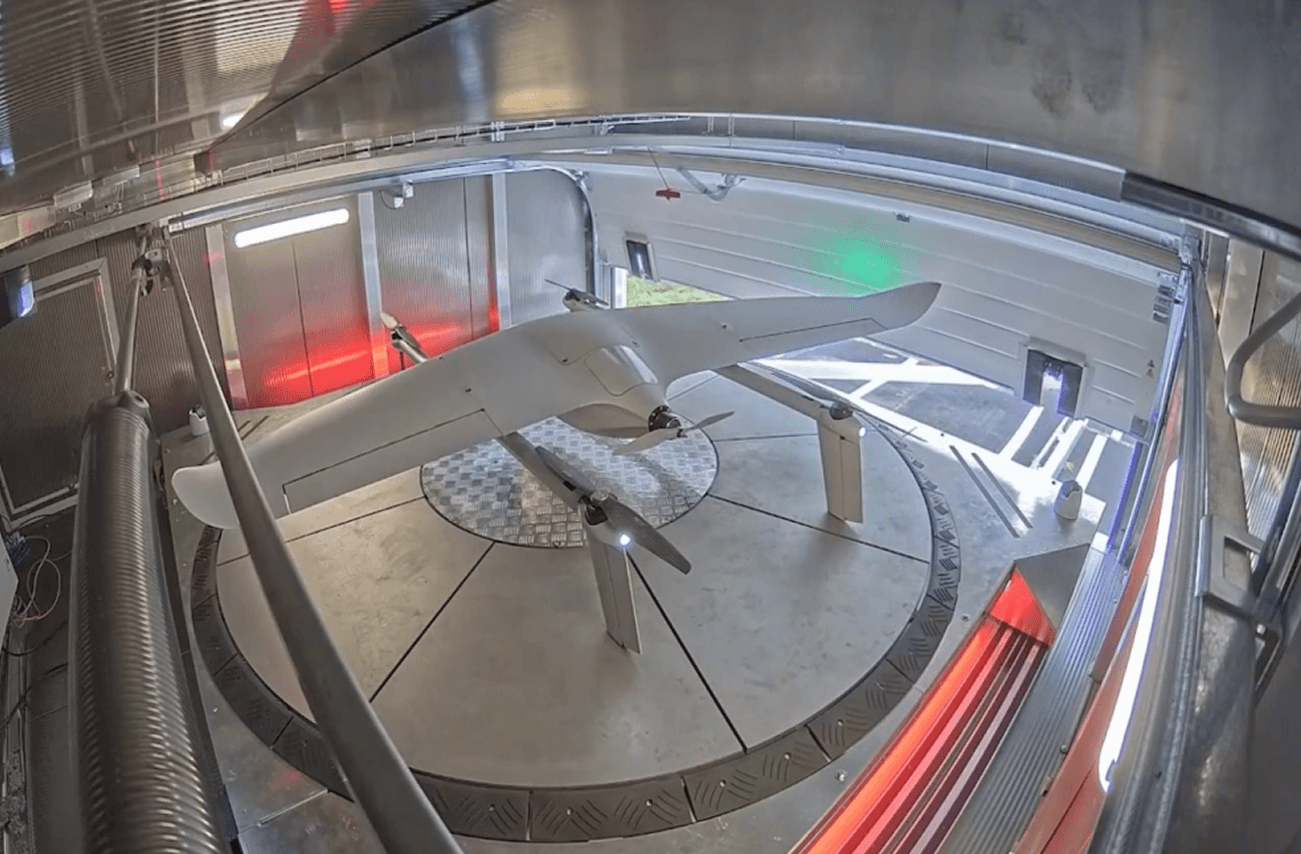
A drone in a box
for pipelines
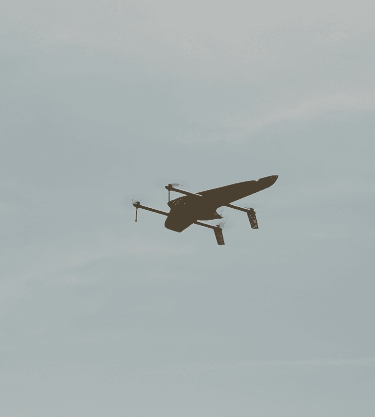
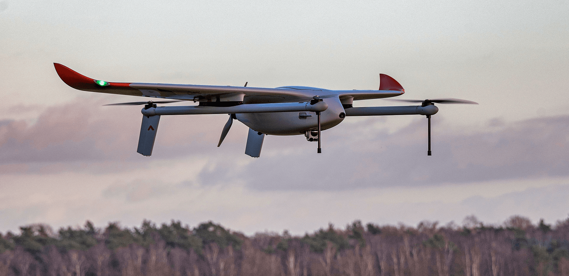
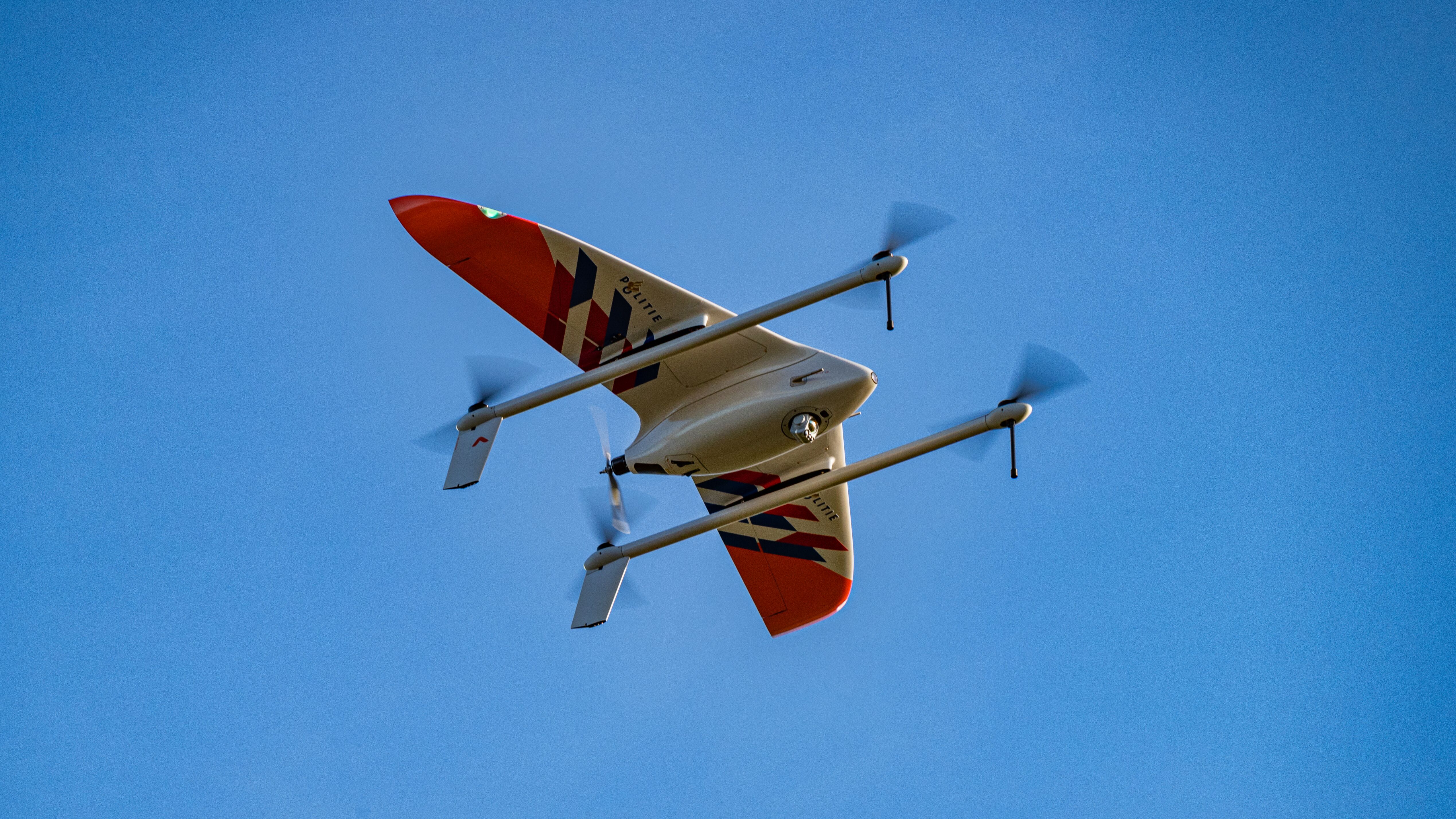
Pipelines are long, thin and remote, which is exactly where multirotors struggle. Aera is a fixed-wing VTOL aircraft: she takes off and lands vertically from the dock, then flies on her wings, using lift instead of rotors to stay airborne. That is what lets one aircraft cover a corridor of 150km flight range on a single charge, where a comparable multirotor is limited to a few kilometres
The Avy network
A complete aviation system, one operator.
Organisations flying
with Avy
Must Read
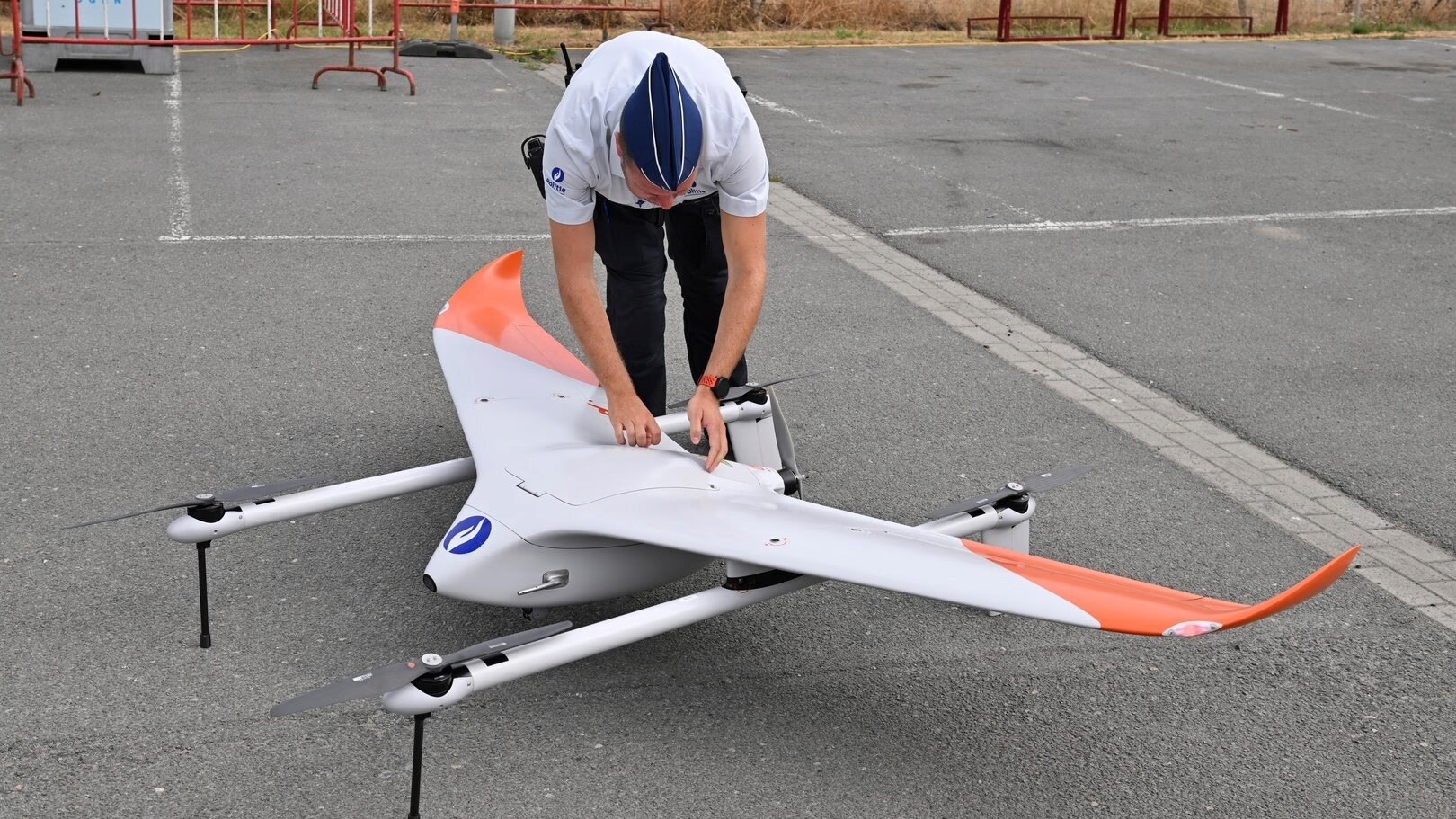
Citymesh & Belgian coastal police
Along the Belgian coast, four police zones have deployed the Avy Aera to support the fight against human smuggling and help prevent dangerous crossings of the English Channel. The aircraft is operated and integrated by Citymesh, with the Avy Aera at the heart of the operation.

Dominik Kondziela
Marketing & Communications Lead
Emergency response
Patrol cycle
An example schedule of long range drones patrol with human in the loop automation

06:00
Morning patrol
The dock opens at the planned time, checks conditions and launches Aera vertically. She transitions to wing flight for speed and range.
06:05
On the corridor
Aera follows the same route at the same altitude as every previous patrol and streams live imagery to the control room.
06:05+
AI flags activity
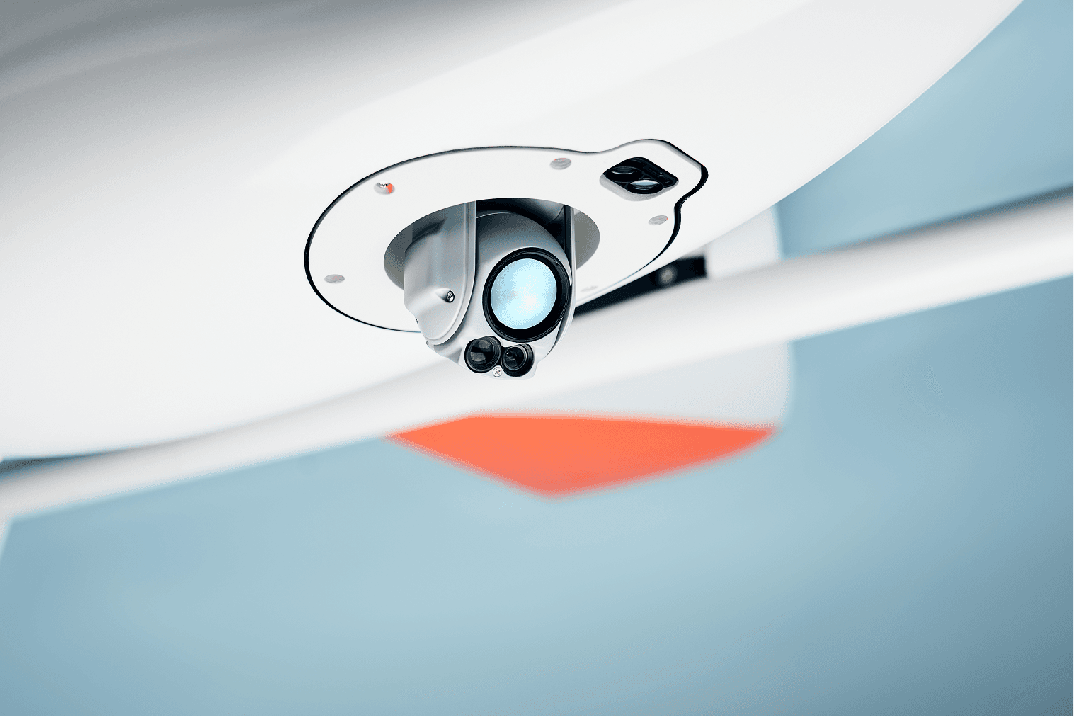
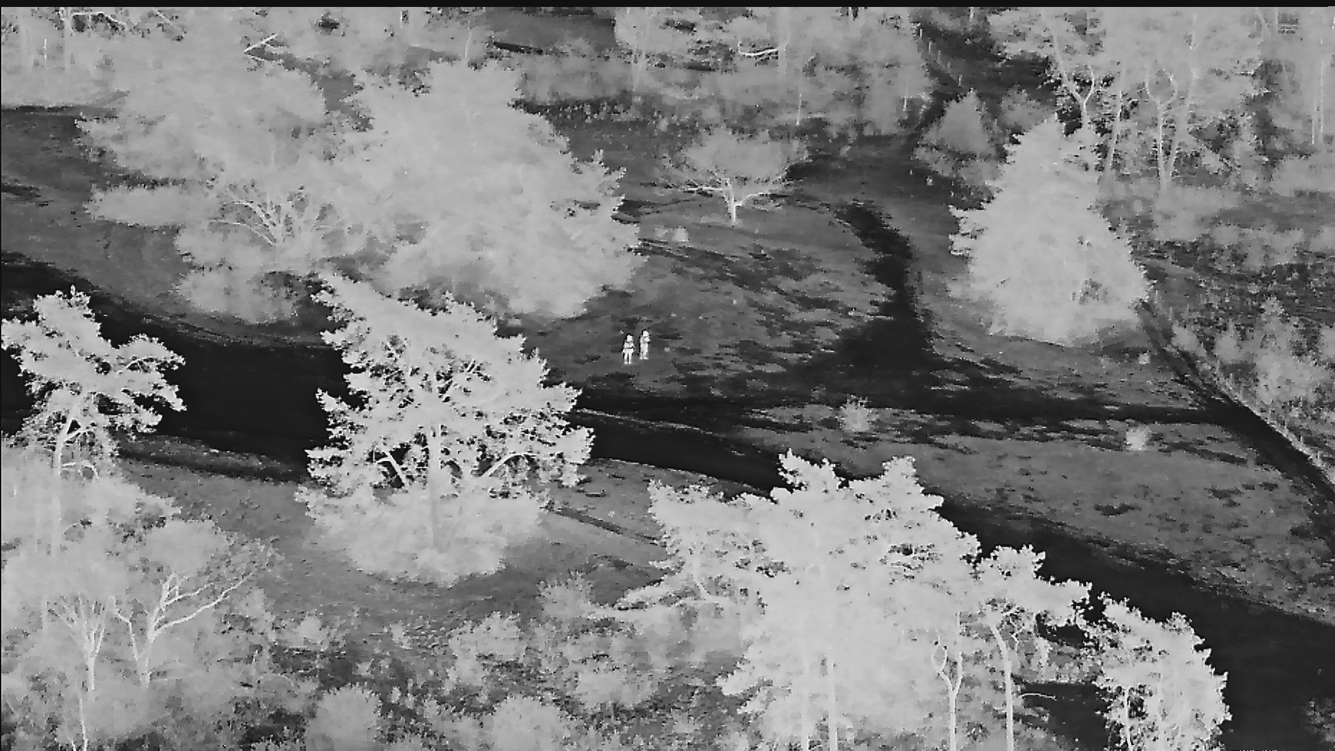
Vehicles, machinery and people on or near the right of way are detected and marked in the feed.
06:05+
Compared with last patrol
Imagery is timestamped, geotagged and logged against the route, so changes since the previous flight stand out: fresh digging, vehicle tracks, new structures.
07:30
Docks and recharges
The drone lands itself in the station, recharges and logs the footage as evidence.
22:00
Evening patrol
The same route again, in daylight or with thermal imaging after dark.

The Avy way
01 / Range
Built for linear assets
A pipeline corridor can run for tens of kilometres from the nearest depot. Ground patrols and helicopter flights are slow and costly over that distance, and multirotors run out of battery long before the end of the line. A fixed-wing VTOL drone flies the corridor in one sortie and returns to the dock on its own.


02 / Repeatability
The same route, every time
Every patrol follows the same route at the same altitude, so imagery from today can be compared with last week. That makes new activity on the right of way easier to spot: fresh excavation, vehicle tracks, encroaching construction or disturbed ground over the line.
For a practical walkthrough, read our guide to adding fixed-wing drones to a police fleet.
03 / Autonomy
Automated flight
Nobody needs to drive out or fly the aircraft by hand. The drone handles launch, route, loiter and landing itself, so the control room stays focused on what the imagery shows rather than on operating the drone.


04 / AI
Image assessment
Onboard analysis flags vehicles, machinery and people in the feed, so third-party interference is spotted while it is happening rather than after the damage is done. Imagery is timestamped and geotagged, which gives operators a record to act on.
New to docked drones? Our guide to drone in a box systems explains how to choose a dock and what a full mission cycle looks like.





Want to know about drone in a box systems?
Did we miss anything?
Here are a few of the frequently asked questions


FAQ